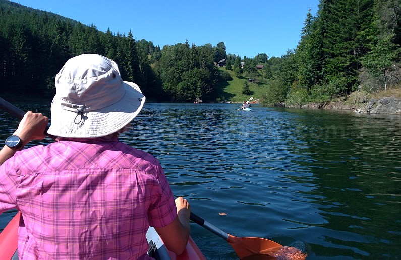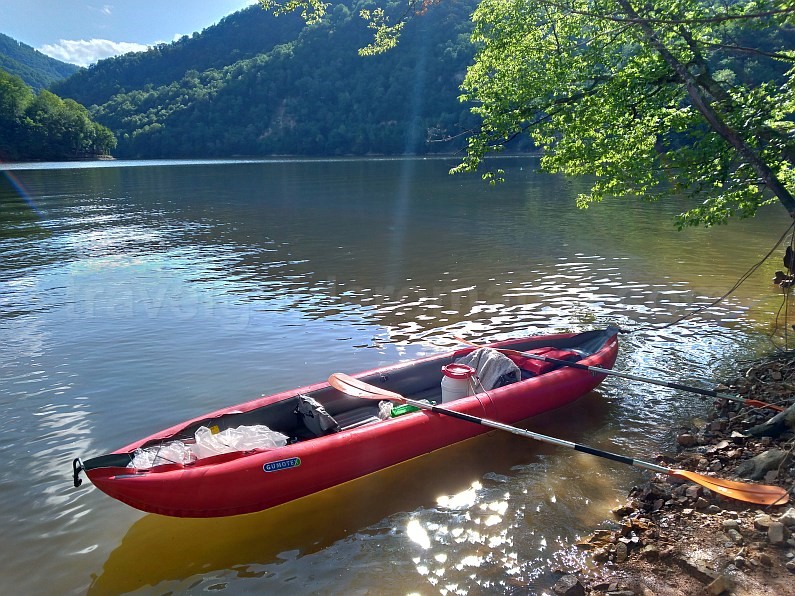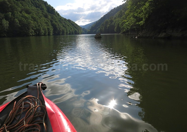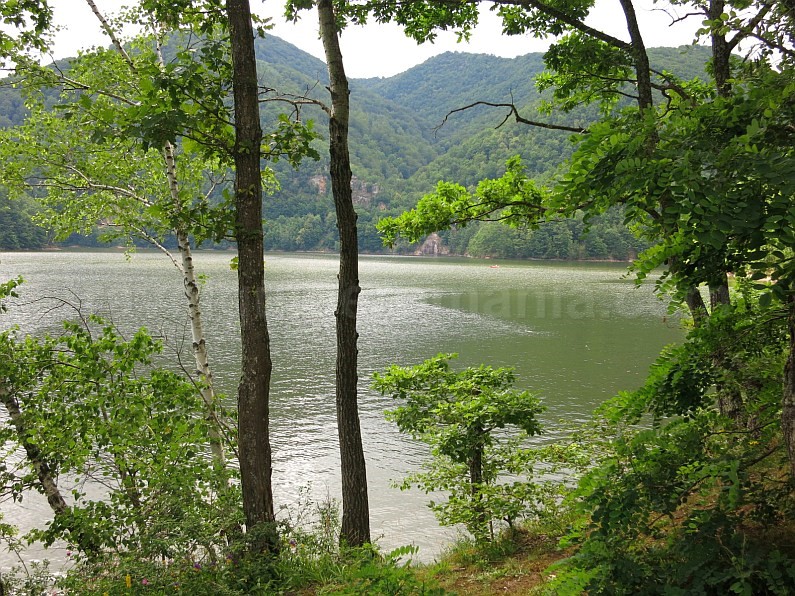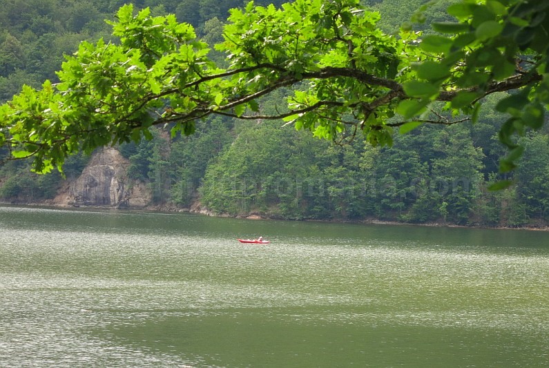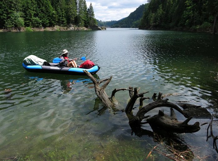
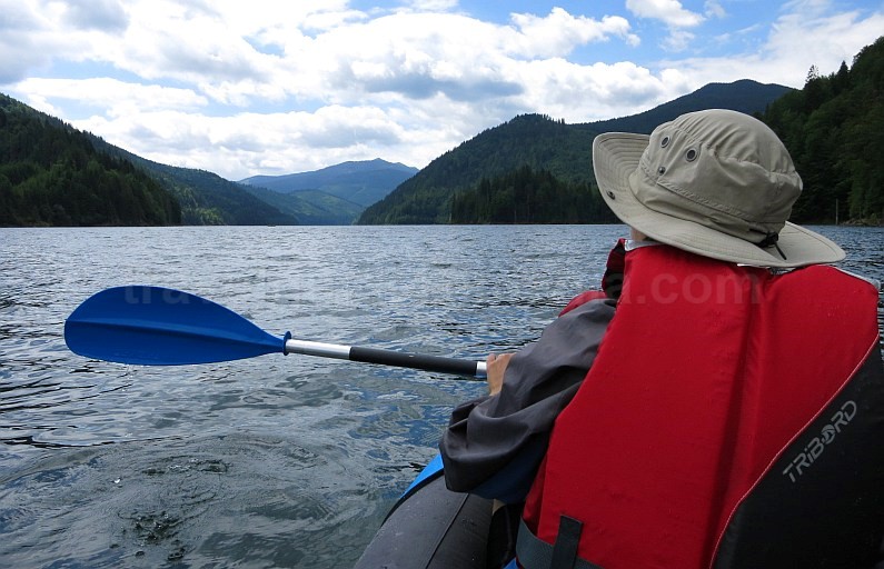
In the Apuseni Mountains, kayaking is primarily enjoyed on three artificial lakes: Drăgan Reservoir, Beliș-Fântânele Reservoir, and Tarnița Reservoir.
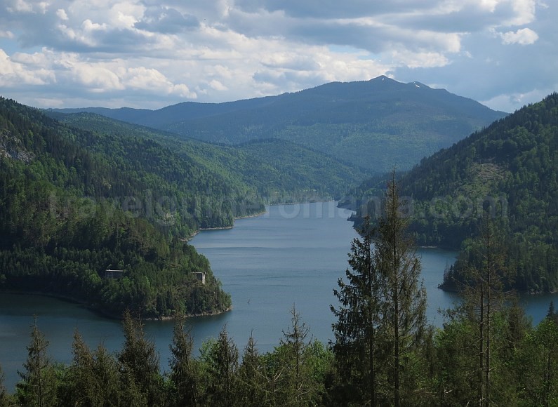
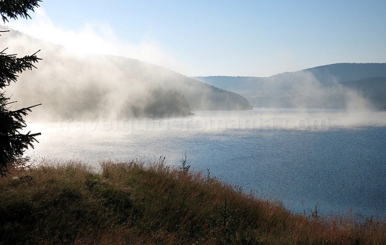
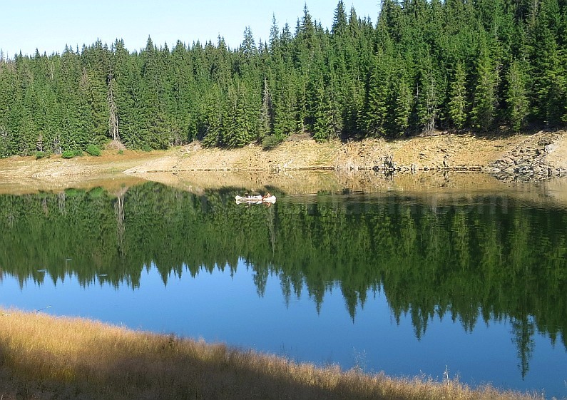
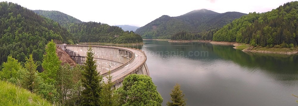
Drăgan Reservoir is situated in a valley of the same name within Cluj County, covering nearly 300 hectares. The dam reaches an impressive height of 120 meters and features a concrete arch design, reminiscent of the Vidraru Dam in the Făgăraș Mountains. Nestled at an altitude of around 830 meters, the lake is surrounded by lush coniferous forests. A forest road encircles the lake, providing a serene escape with no settlements or buildings in sight.
Access Routes to Drăgan Reservoir
You can access the reservoir via two primary routes from DN 1:
1. The more direct route follows the Drăgan Valley through the villages of Valea Drăganului and Lunca Vișagului, covering approximately 23 km. The valley’s entrance is located between the villages of Poieni and Ciucea. Here, you’ll find the CFR Valea Drăganului Halt (CFR is the National Railway Transport Company). At present, the crossing over the Crișul Repede River is via a temporary single-lane bridge, as the old concrete bridge was swept away by a flash flood.
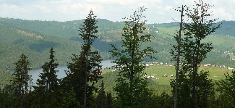
2. A longer but more scenic option stretches over 35 km, starting from Bucea and traversing the Iad Valley through Bulz and Munteni, reaching Remeți. This route eventually leads uphill, crossing a minor peak of the Vlădeasa Mountains. Recently repaved, this road offers breathtaking views of Drăgan Reservoir. A stunning panorama of the lake and surrounding areas, including Vlădeasa Peak, can be captured by detouring approximately 600 meters from the highest point along the route. This area also marks the boundary between Cluj and Bihor counties.

Continue along the cobbled road on the right for about 300 meters, then turn towards the hilltop. As you descend towards the lake, close to Hotel Art 1000, you will encounter another viewpoint offering a scenic view of the lake and Buteasa Peak, which shelters it. Remnants of the temporary settlement Florești, where dam builders once lived, can also be spotted here.
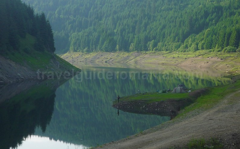
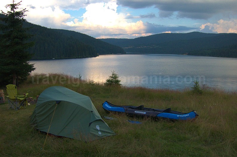
About 400 meters below the hotel, a narrow paved road branches off to the right before a curve. This road follows one of the arms of Drăgan Reservoir, specifically the Sebeşel Valley. The asphalt ends about 4 kilometers later, and you will still need to travel about 1 kilometer to reach the kayak launch site at the lake’s end. The last 200 meters from the road to the lakeshore can be challenging to navigate if you have a sedan. A campsite is available here during the summer, offering an easy spot to launch your kayak.
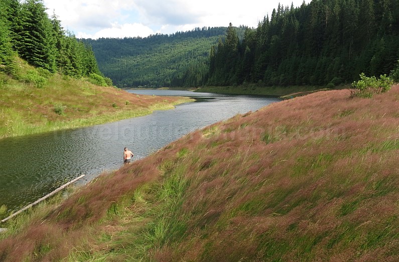
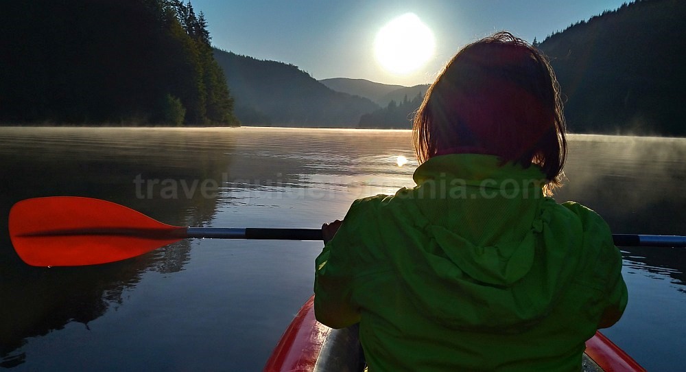
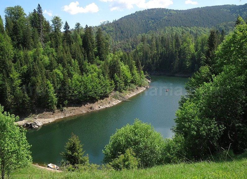
Kayaking will allow you to explore the dam at Drăgan (approximately 3.5 km) and the small holiday village of Alunu (an additional 1 km). Alunu is the only settlement located on the shores of Drăgan Reservoir, nestled in a small bay. While the steep slope may make it challenging to disembark from your kayak, the area’s isolation and picturesque scenery add to its charm.
Regrettably, there are no additional locations to land along the shores due to the steep and wooded banks. If you wish to paddle further along the main arm of the lake, you will need to cover an additional 5 km.
Located upstream from Remeți on the Iadului Valley is another sizable reservoir, Leșu Reservoir. Unfortunately, it has been drained for several years due to issues with the dam.
In the Someșul Cald Valley, there are four artificial lakes: Beliș-Fântânele, Tarnița, Someșul Cald, and Gilău. The Someș Valley has its sources beneath the Cârligatele Ridge, close to the Padiș Plateau. It flows through two gorges, namely the Someșul Cald Gorge and the Beliș-Lapuștești Gorge. The Beliș-Fântânele Reservoir sits upstream from the Beliș-Lapuștești Gorge, followed by the remaining three lakes leading to Gilău. The first two lakes, Beliș-Fântânele and Tarnița, are particularly attractive to kayakers due to the stunning surroundings and their ample lengths.
The largest of these, Beliș-Fântânele, spans 480 hectares. The dam here stands at 92 meters tall. The Beliș-Fântânele Reservoir is located at an altitude of 990 meters and is surrounded by coniferous forests.
Access to Beliș-Fântânele Reservoir
– From DN1, you can reach the lake via paved roads from various directions.
* From Huedin, the distance is about 28 km via asphalt roads through Călata – Călățele – Beliș, or 46 km using Călata – Scrind-Frăsinet – Răchițele – Pasul Prislop – Doda Pilii – Smida (the end of the lake).
* From Bologa, you can take the route through Săcuieu – Scrind-Frăsinet – Răchițele – Pasul Prislop – Doda Pilii – Smida (about 43 km). Note that there is about 2 km of unpaved road from Doda Pilii to the hamlet of Smida. If you wish to access Giurcuța de Sus, it will involve around 9 km on a relatively rough road. This road continues around the lake for several kilometers, but conditions can be poor.
* From Gilău, you can travel 53 km on the Someșul Cald Valley, passing by the other reservoirs at Mărișel-Beliș.
* From Căpușu Mare-Agârbiciu through Dângău Mare – Râșca – Dealu Negru, it’s approximately 31 km.
– From DN75, you can arrive via Albac in the Arieș Valley, through Horea – the Ursoaia Pass – Poiana Horea – Beliș (asphalt road, closed in winter) for a distance of 55 km, which hugs the portion of the lake located on the arm of the Beliș Valley.
From the asphalt road that traverses the villages of Beliș, Bălcești, Dealu Botii, and Răchitele (18 km), you have possibilities to access the lake from the north. This route features some lookout points with views of the lake, which are among the few available.
Tarnița Reservoir is positioned along the Someșul Cald Valley, upstream from the Gilău and Someșul Cald reservoirs. Surrounded by deciduous forests, the lake sits at an elevation of 520 meters and spans about 215 hectares, featuring a main arm approximately 8 km in length. The Tarnița Dam is an arch dam standing 97 meters tall. Here, you can rent kayaks, sailboats, and paddleboards at the Yachting Club Tarnița. Each year, a swimming contest, known as “Crossing Tarnița,” is held here.
This lake is also popular among hikers, with marked trails leading to some of the most breathtaking viewpoints in the country. Notable lookout points include Piatra lui Lucaci and Piatra Lui Dan (also known as Piatra Corbilor). A Mountain Rescue Base is located near the dam. A blue-marked trail runs along the northern bank from Tarnița dam to the lake’s end. A branching circuit trail (marked with a red dot) leads to one of the viewpoints, Piatra Lui Lucaci. Access to the Piatra lui Dan viewpoint can be done via the yellow dot marking near the dam.
Car Access to Tarnița Reservoir:
– From DN1 Gilău, you can reach Tarnița Dam in 10 km. To get to the lake’s end, which is one of the few places to launch kayaks, you’ll need to travel 10 km on asphalt roads and approximately 600 meters on unpaved paths.
Explore the Romanian Version


