A Quick and Delightful Loop Walk in Changhua County
After a day of climbing Mount Jinganshu, we enjoyed a meal in Nantou and refreshed ourselves with a shower at the nearby Nantou Service Area (because we like a bit of luxury). Instead of heading home, we opted to sleep in the car for one more night. So, I woke up in a parking lot at the entrance to Tianzhong Forest Park. It felt wrong not to explore the trails, so while Teresa went off in search of her morning coffee, I set out on a refreshing pre-breakfast walk. This experience truly exceeded my expectations, and I’m very grateful I took the time.
Distance: 3.5 km, with an option to extend it slightly by visiting the tea trail at the top.
Time: 1½ – 2 hours.
Difficulty (regular Taiwan hiker): 2/10 – This walk can be tiring due to the steps, but it’s not difficult. The elevation gain makes it moderately easy.
Difficulty (beginner Taiwan hiker): 3-4/10 – The steps might be challenging if you’re not accustomed to them, especially during warmer months, but they are not dangerous or overly difficult.
Total ascent: Approximately 250 m.
Water: I carried a 0.5L bottle and emptied it.
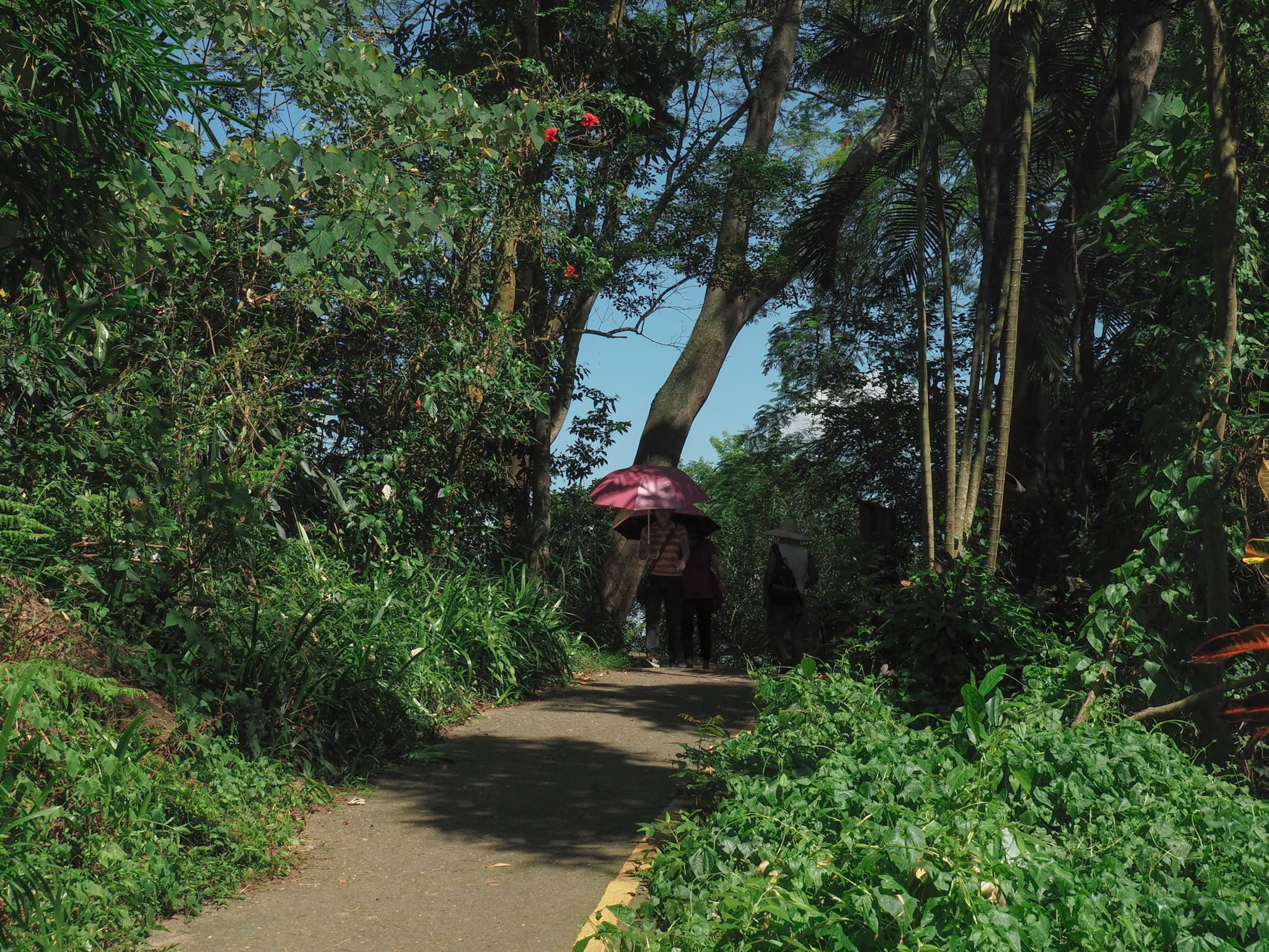
Shade: There’s ample dappled shade along most sections. On a sunny June morning, I even resorted to using an umbrella.
Mobile network: Excellent signal strength throughout.
Enjoyment: This is a delightful way to exercise while enjoying lovely views of Changhua County. The experience of traversing along ridges adds an extra thrill (there’s no real sense of danger, making it suitable for those who may be wary of heights).
Route type: Loop
Permit: None required.
Scroll down to the end of this post for a trail map and GPX file.
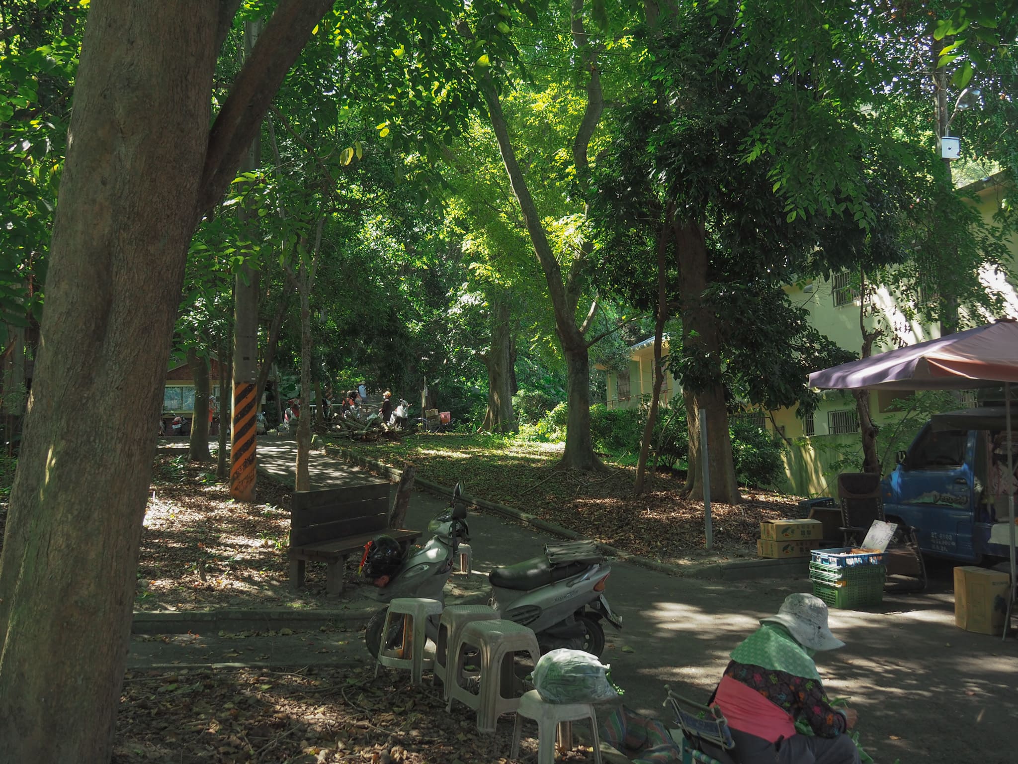
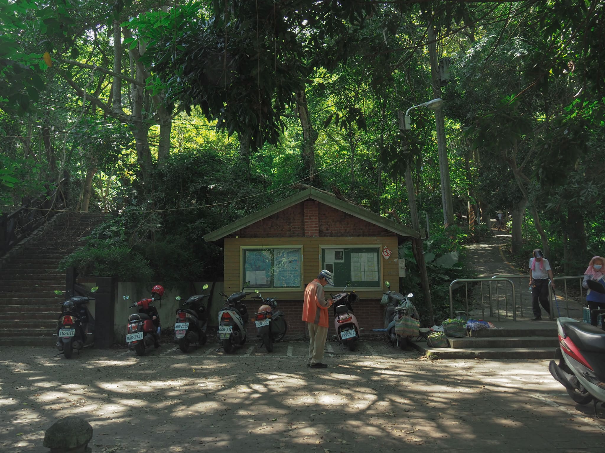
By the time we woke up on a sunny weekend morning, the parking lot was crowded, and vendors selling fresh produce had set up shop at the base of the trail.
For the first few hundred meters, the path is a narrow concrete trail that gently inclines. At a bend, I encountered a pavilion beside a clearing where a group of stretching aunties had gathered, energetically chatting while they exercised.
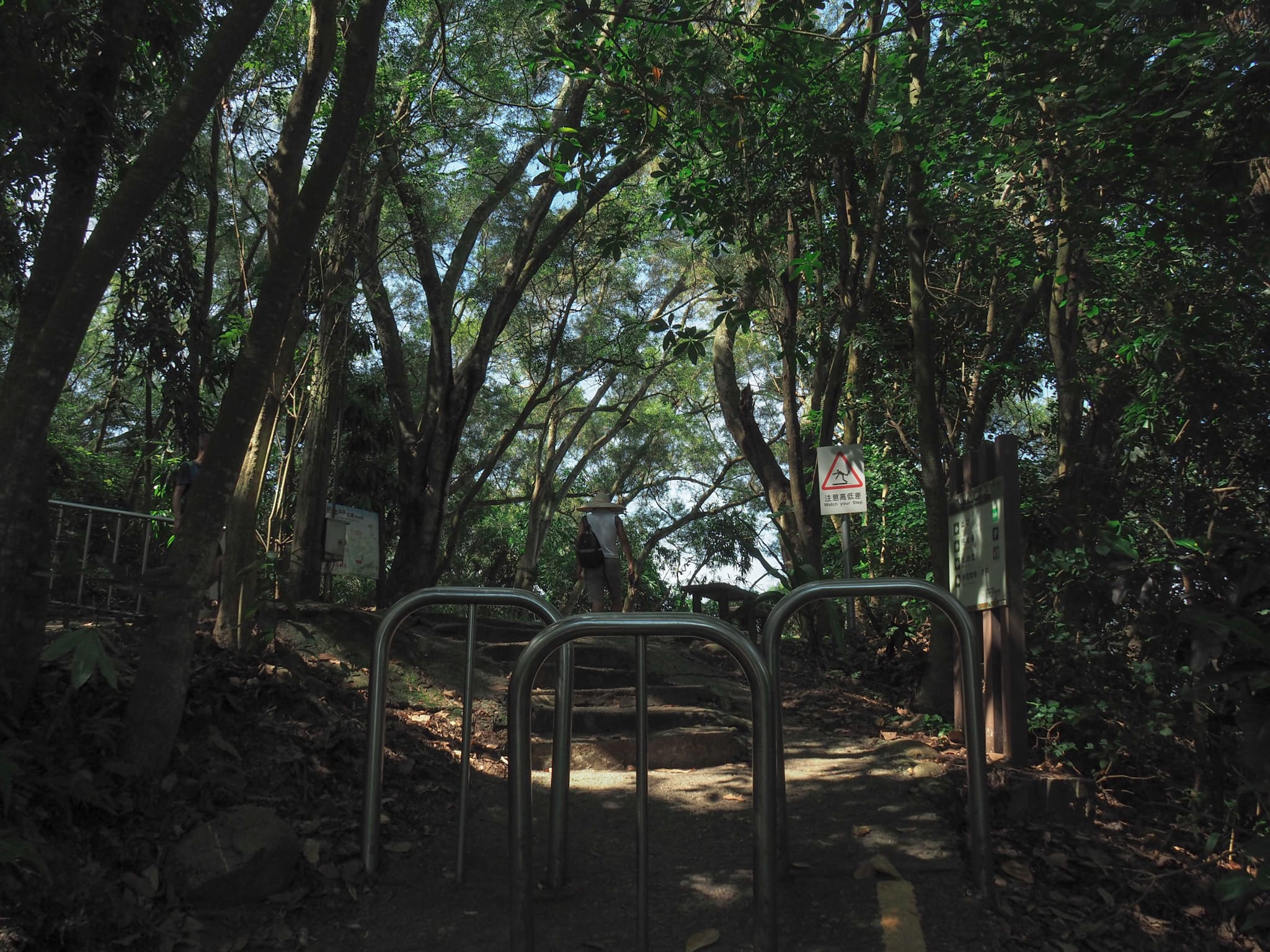
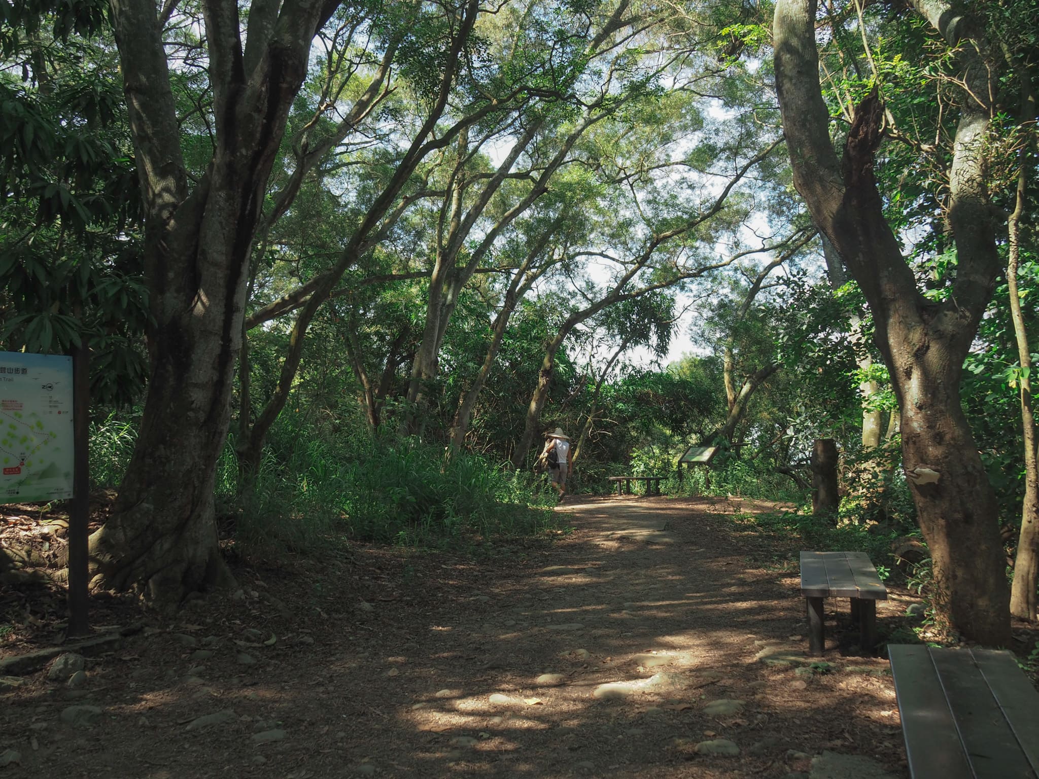
The top of the path marks the beginning of the loop section. I opted for the flatter trail on the right and embarked on an anti-clockwise loop.
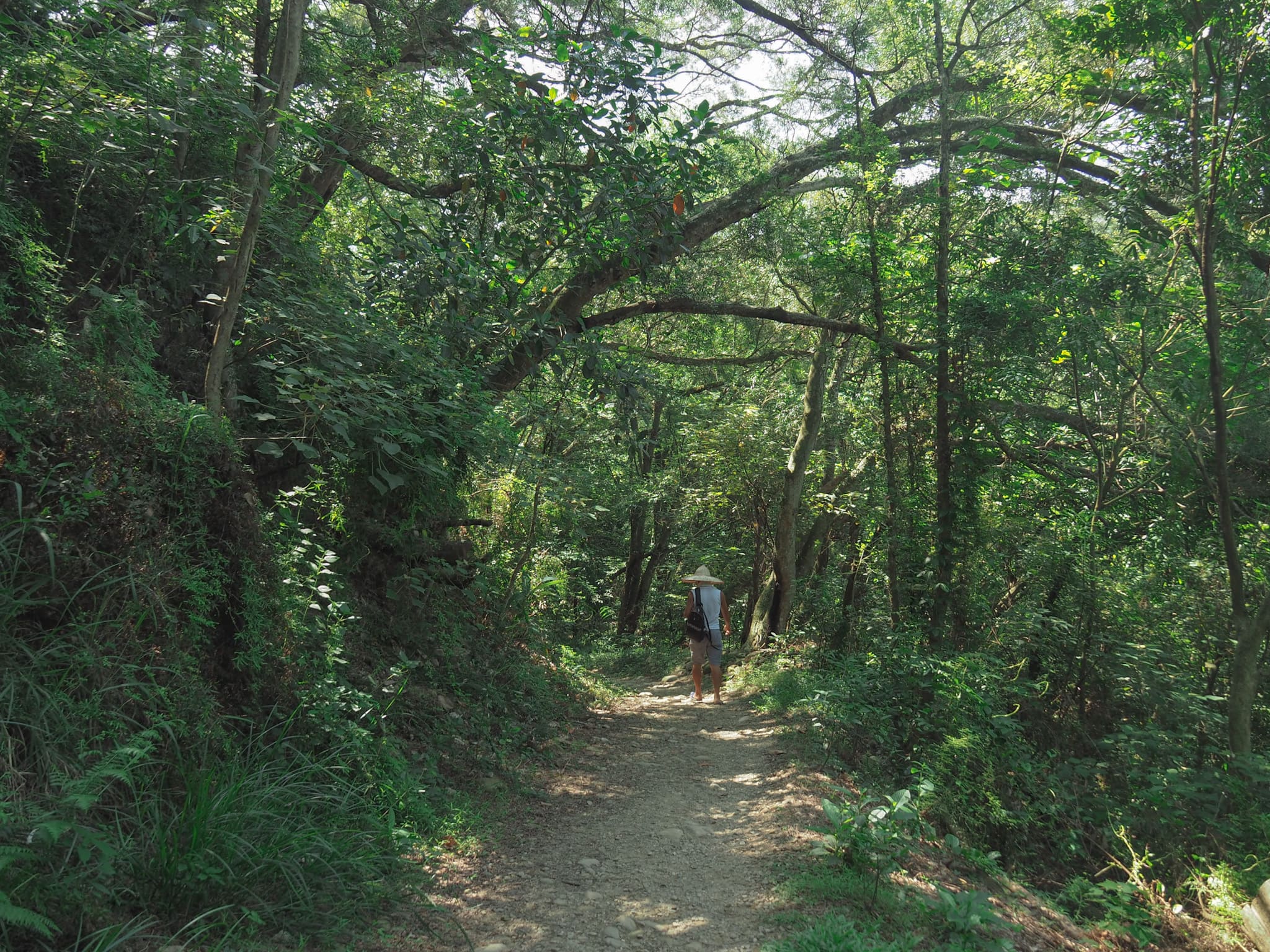
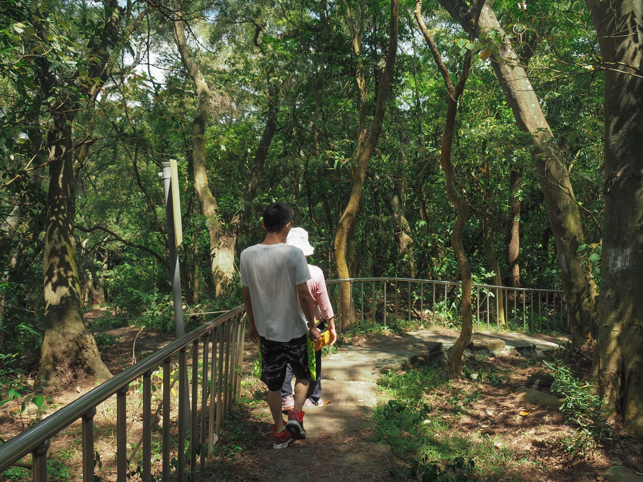
A firm dirt path curves around the hill, offering both beauty and ease.
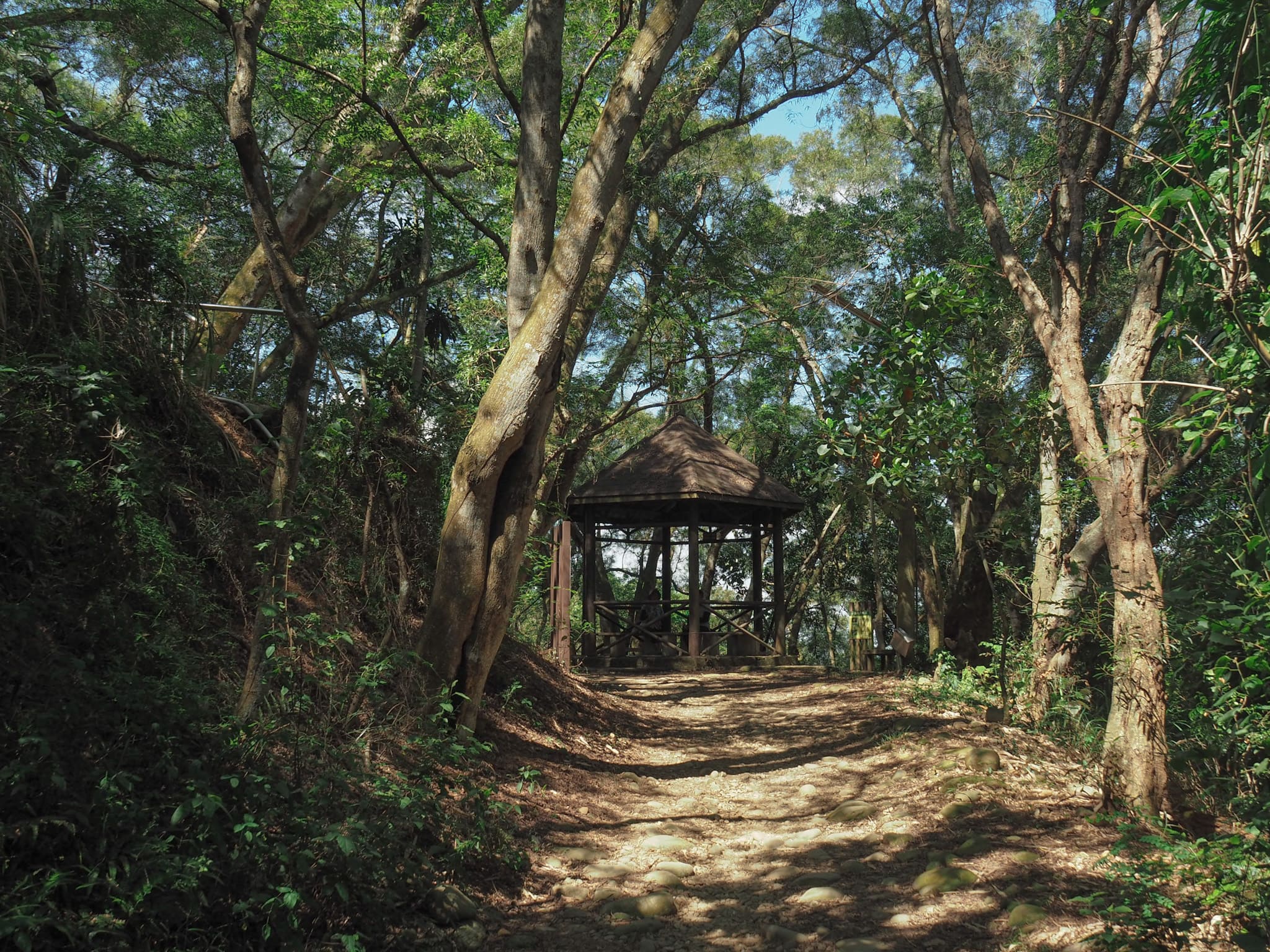
As I reached a pavilion, the gentle path abruptly changed course. Here, the trail made a sharp left and began a steep ascent.
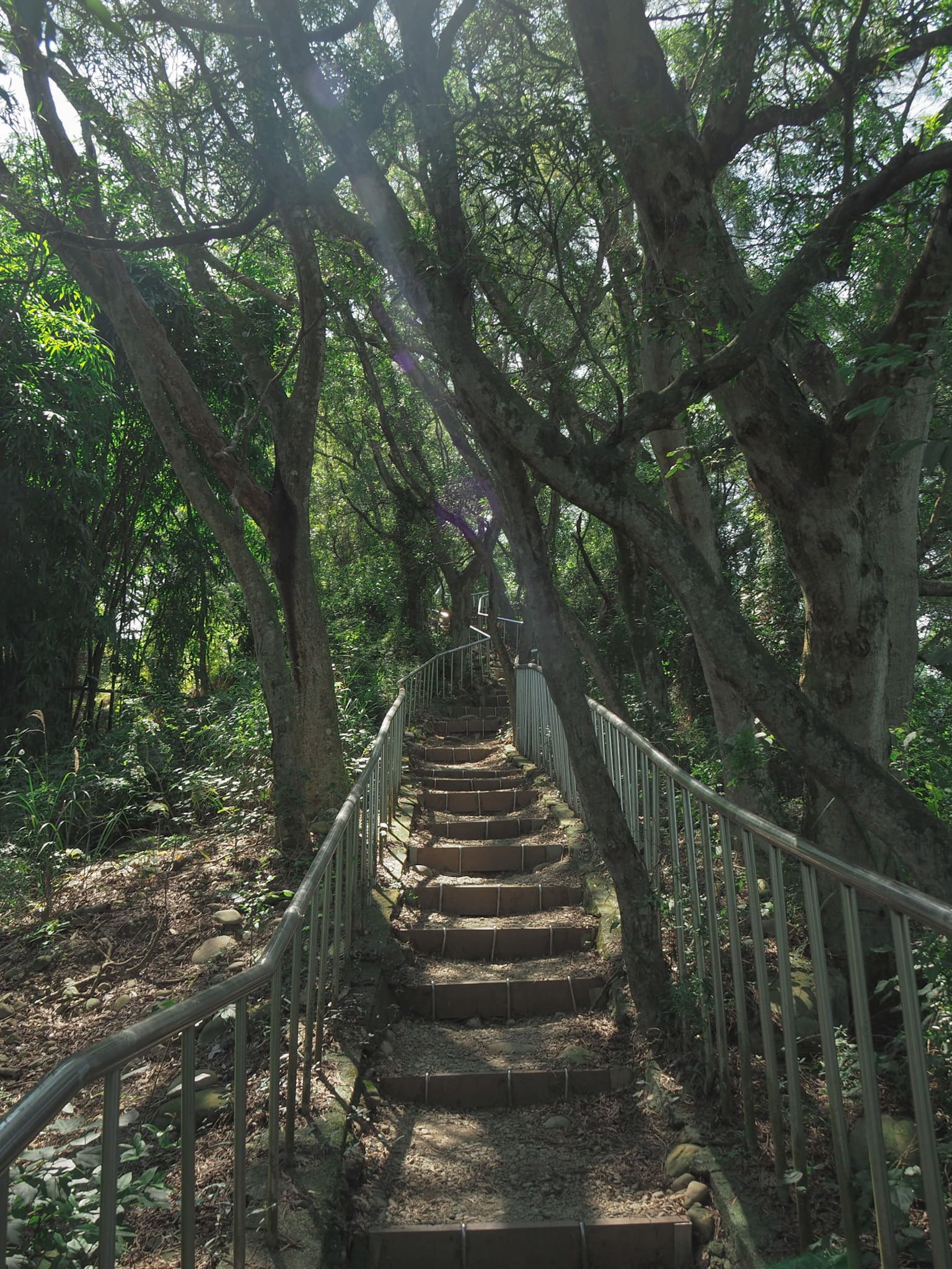
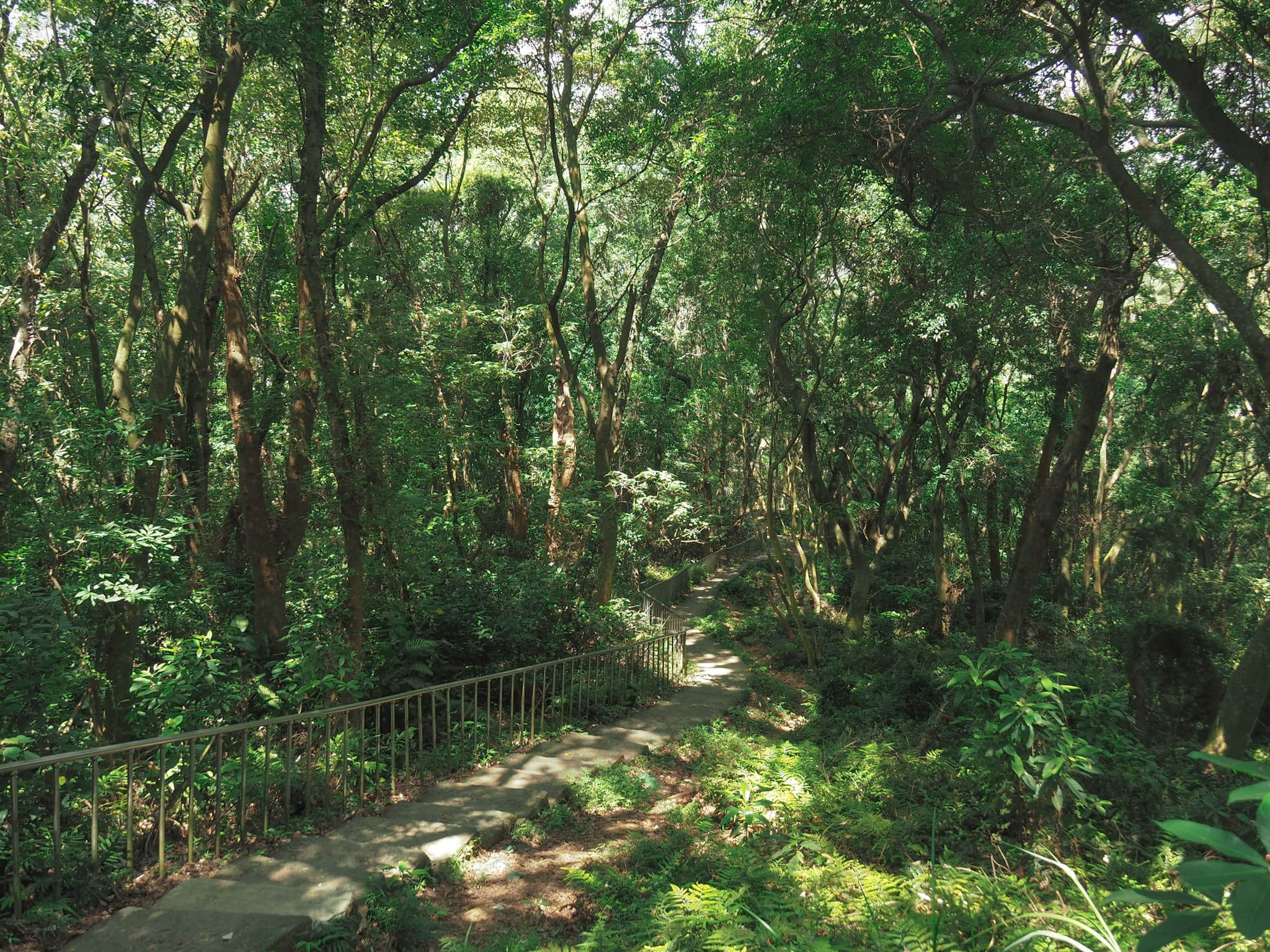
Relentless steep steps with railings on both sides led upwards, and within minutes, I was drenched in sweat despite it still being early.
For the most part, the trail is pleasantly shaded, but in certain spots, gaps in the trees allow for breathtaking views of Tianzhong.
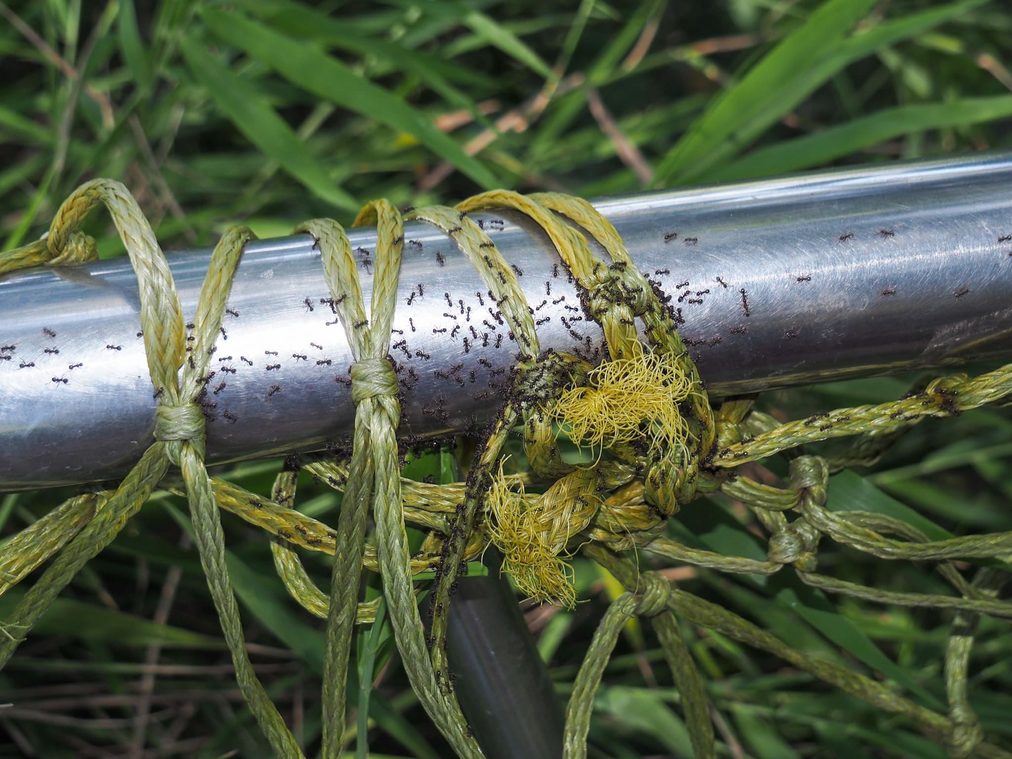
I was also captivated by the vast number of tiny ants that swarmed everywhere, gathering on the steps and handrails, which were nearly unusable due to their overwhelming presence. Perhaps the heavy rain earlier had disturbed their colonies.
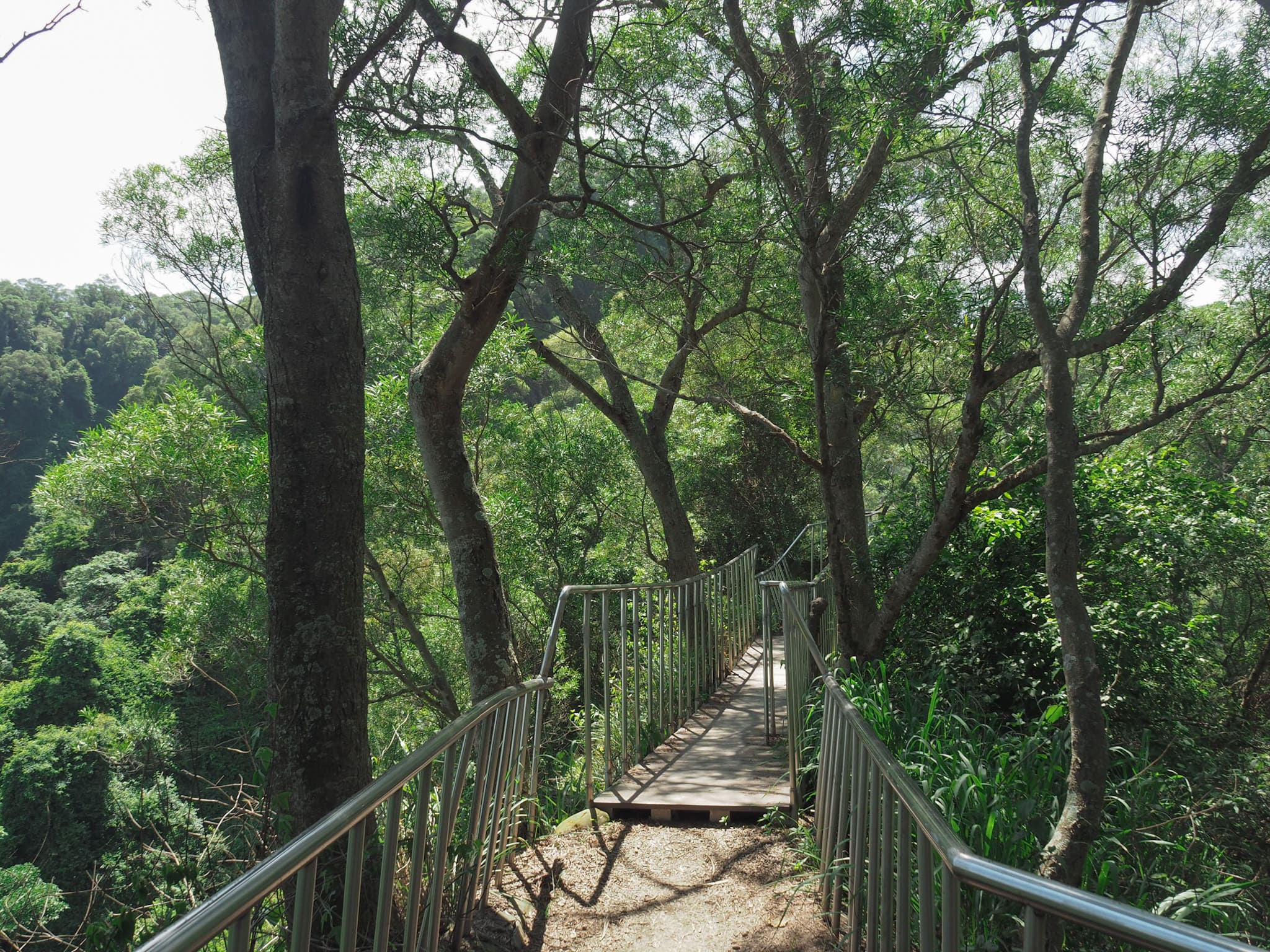
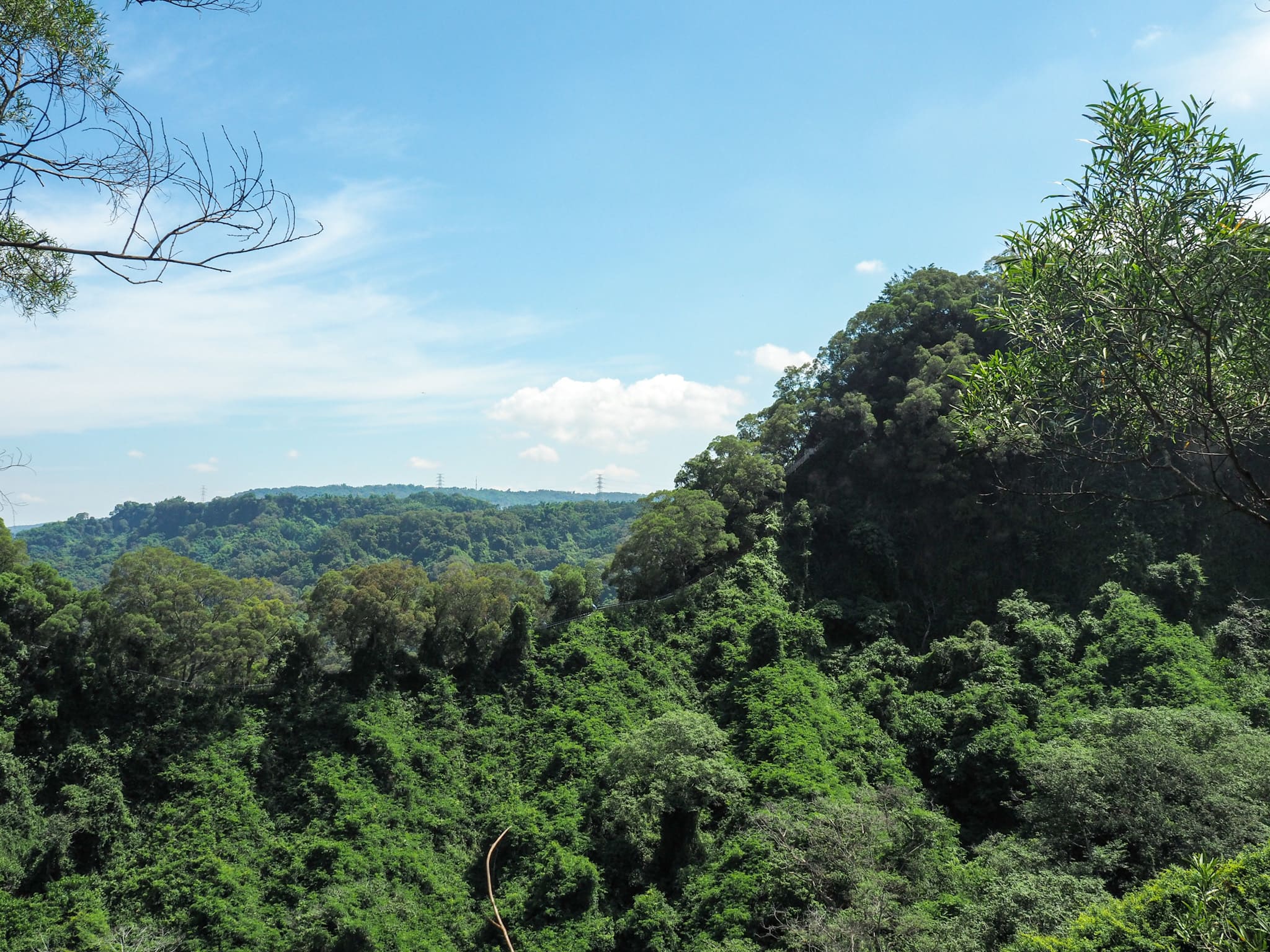
As the hike approached its peak, I caught a glimpse of a steep descent on the opposite ridge which I would soon be navigating. I was thankful for my choice of path, but my smugness was swiftly countered—the final portions on both trails were equally steep.
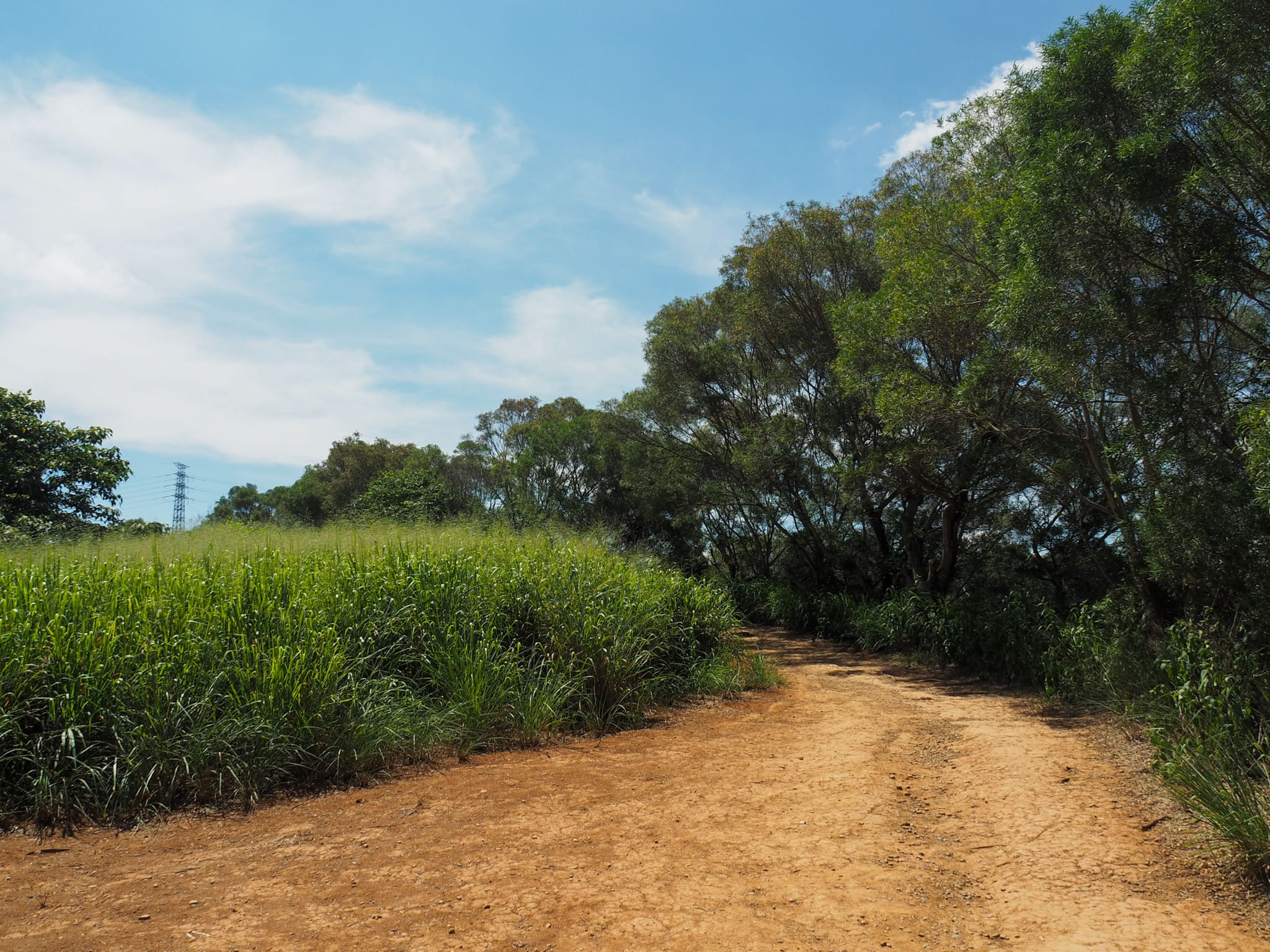
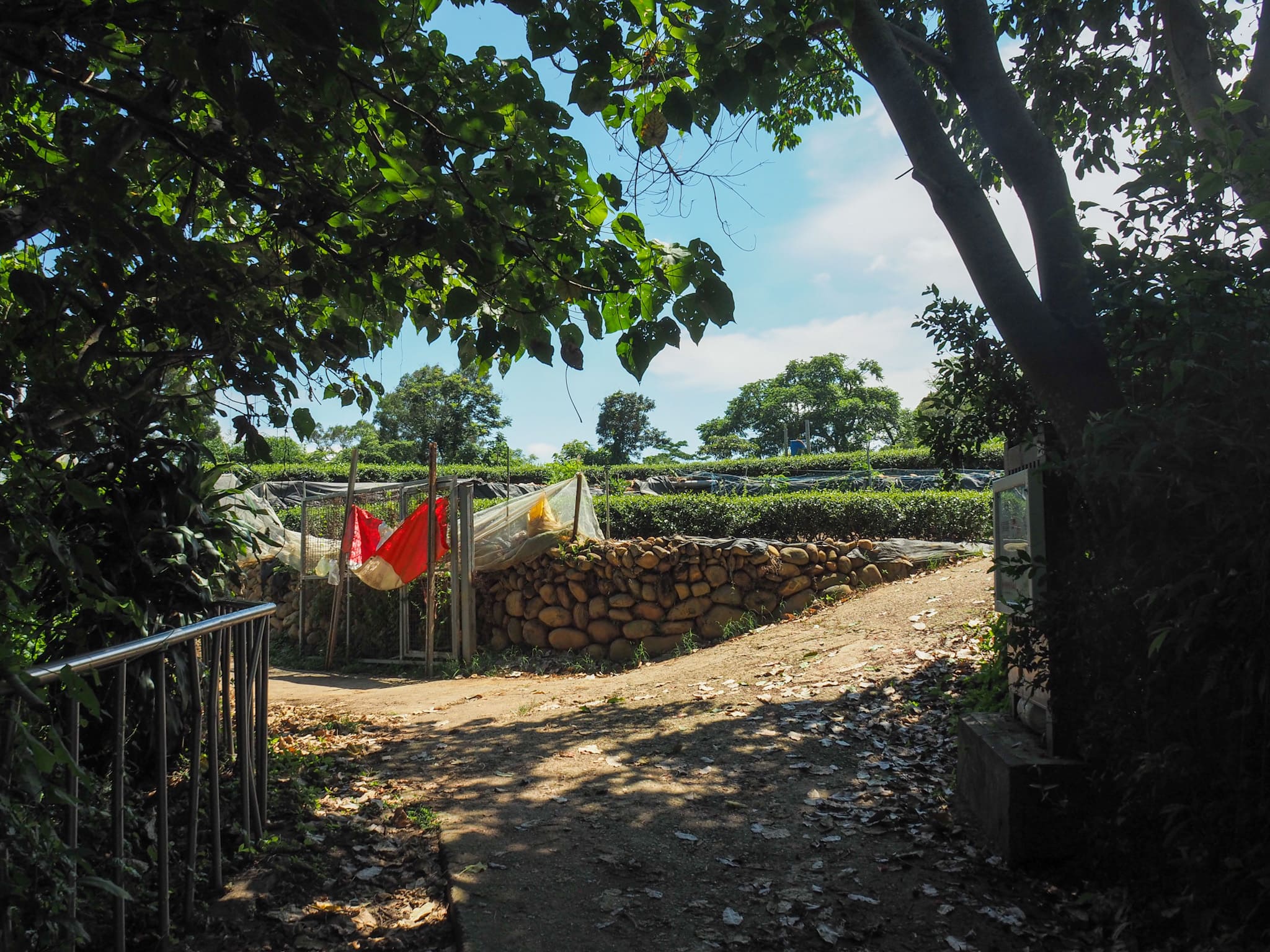
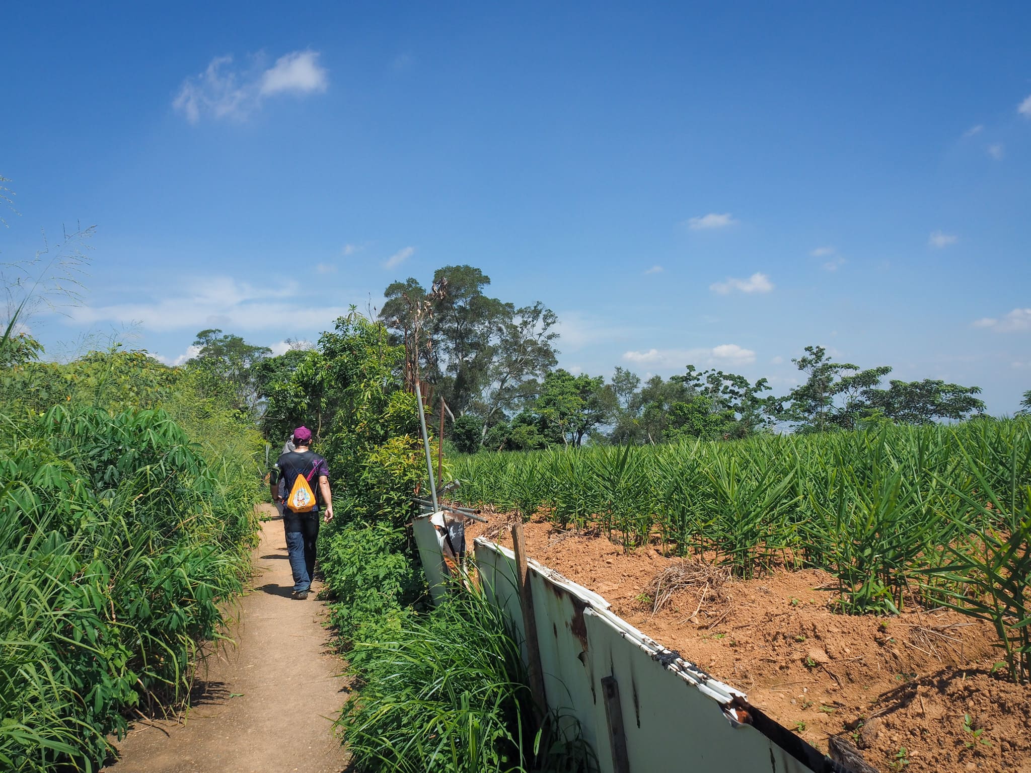
The trail leads to the red earth of a plateau, moving through farmland before curving left to initiate the descent.
Here, some hikers detour to the right to visit Beitian Temple and a tea trail. I was tempted by the thought of coffee just a few minutes away but chose to continue without making Teresa wait too long for her breakfast.
As the path continued, I passed farmland where I noticed rows of bamboo. By the way, the person in that last picture is one of those persistent individuals. I first noticed him midway through my climb; our eyes met, and I had an unshakable feeling he’d be following me. And indeed, he was either slightly ahead of me or behind, making sure to mimic my movements. Whenever I thought he was gone, he seemed to reappear. It was never threatening, but it became increasingly annoying. While I’m generally friendly, having someone hover so closely is uncomfortable.
So, here’s a brief public service announcement: if you see someone walking alone, especially a woman, approach them with respect. A friendly hello is great, but don’t make them feel as if you’re lingering around them. It’s exhausting to have to constantly gauge your safety—it detracts from the joy of the hike.
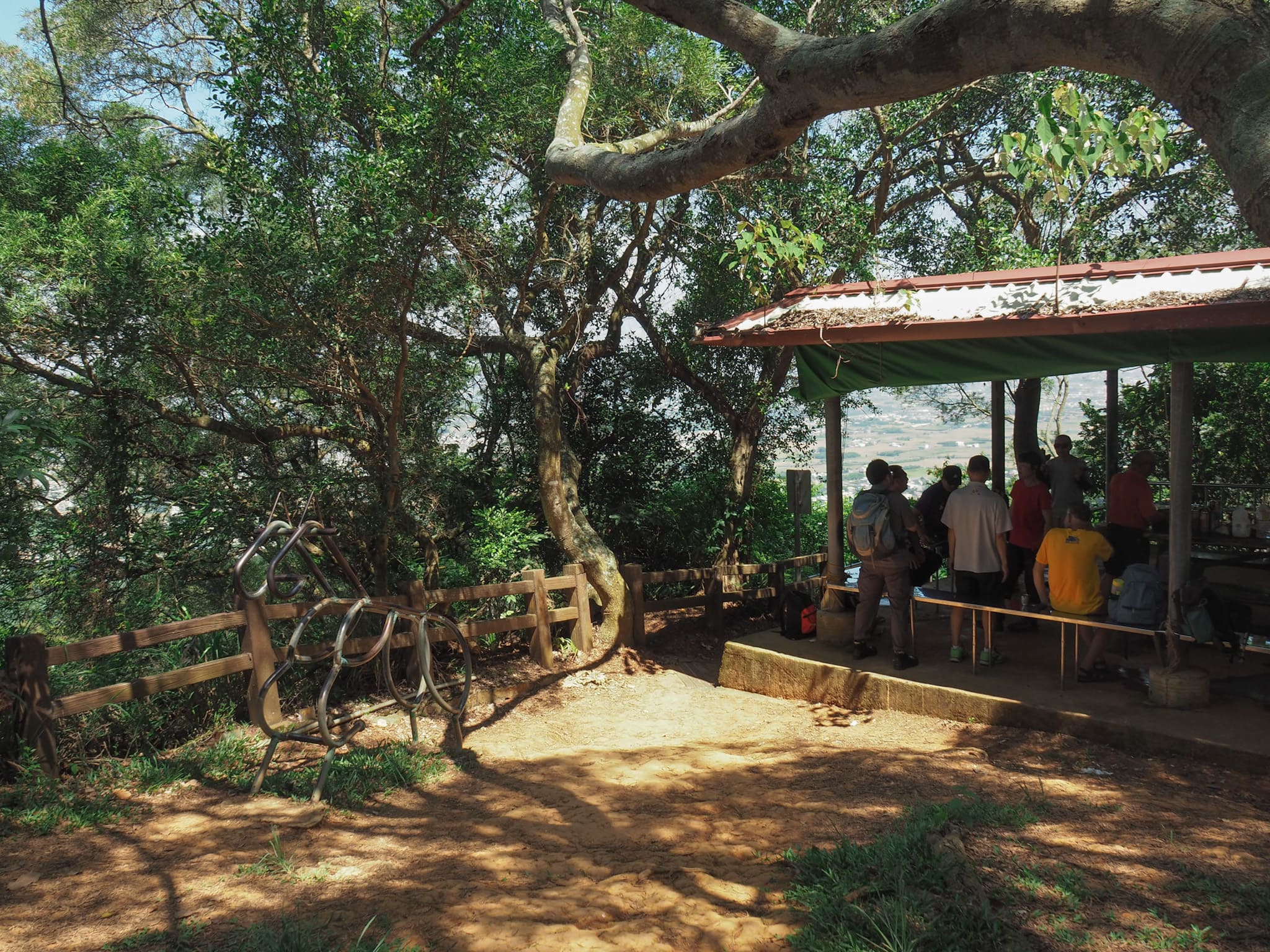
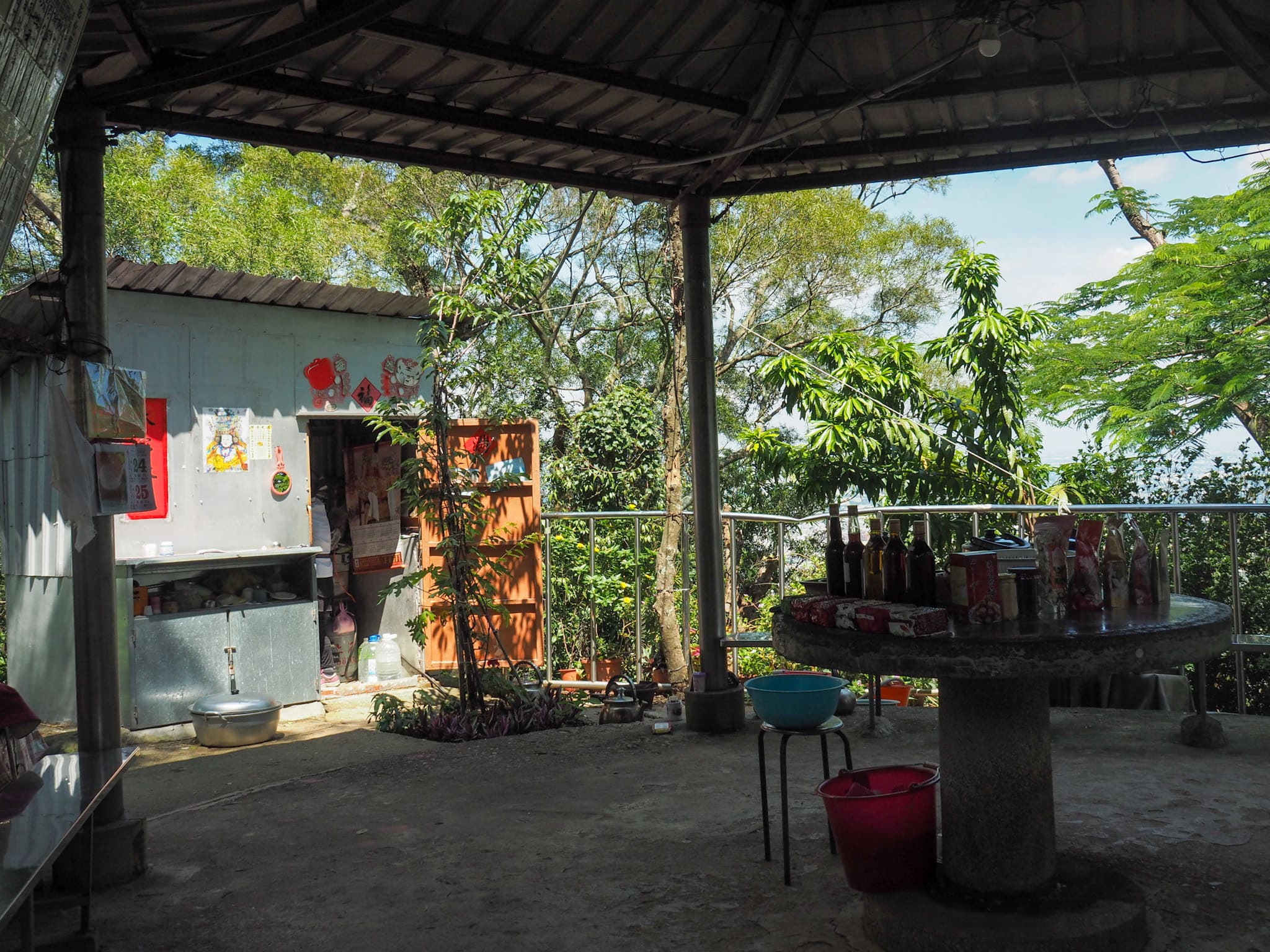
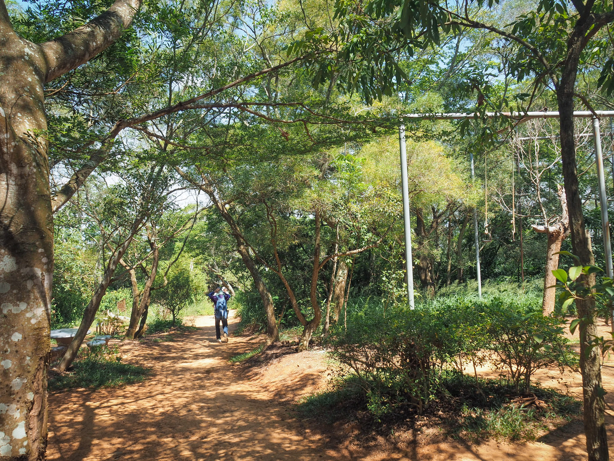
As the trail starts to descend, it passes an extensive exercise area filled with seating and outdoor gym equipment.
There are also a couple of rest pavilions on the way down; the first was occupied by a chatty group of retirees while another seemed to have been transformed into a mountaintop shop run by a friendly auntie.
As I neared the bottom, the trail began to level off, feeling both spacious and airy.
There’s one final junction. I went right, but either path will return you to the loop’s starting point.
From there, I walked the final few hundred meters back to the parking lot. I thought I’d finally lost my shadow. After not seeing him for about ten minutes, when I reached the car park, he resurfaced unexpectedly, trying to get my attention with “小姐!小姐!” Fortunately, I noticed him from the corner of my eye and was already on the phone with Teresa; I managed to nod in response to his ridiculous question—“Did you walk up from here?”—obviously, since we had been ascending together. I motioned that I was on the phone, and thankfully that made him back off. Yet, his move to wait until I reached the parking lot and then show up felt concerning enough to turn my annoyance into unease.
So please, don’t be that guy.
Women readers, I encourage you not to let this experience deter you from hiking in Taiwan. Throughout my time here, such unsettling encounters are extremely rare.
Getting to Tianzhong Forest Park
Google Maps address: I started and ended my hike at the large free parking lot next to Gushan Temple. Others seemed to do the hike in the opposite direction, but I couldn’t determine their parking options.
GPS Location: N23 51.220 E120 36.670
Public Transport: The local train will take you to Tianzhong Station. From there, you can catch a bus from the stop outside the station to the Ren Ai Villa bus stop (routes 6927 Via Tianzai and 6928A Extended Tianzhong go this way). However, depending on your arrival time, walking may be quicker. The return journey is simply the reverse.
Further Reading: The local government provides a couple of brief pages about this trail, although they don’t contain much useful information. A post with a description of the route in Chinese can be found here.
Nearby Trails: There are plenty of wonderful hikes to explore along this charming hilly plateau.
Tianzhong Forest Park Trail Map
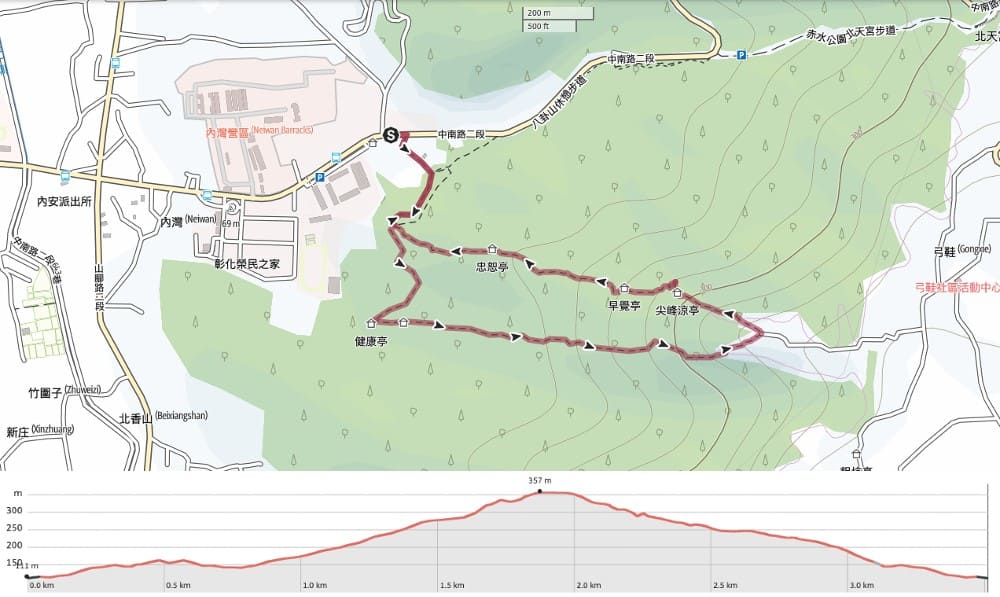
Download the GPX file here on Outdoor Active. (An account is needed, but the free version works perfectly.)
Connect with me on social media:
If you enjoy my writing and would like to help me cover the costs of running this site or purchasing train tickets to my next trailhead, please feel free to donate. You can find me on either PayPal or Buy Me a Coffee.


